
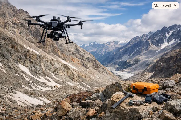
Introduction to Drones for Gemstone Exploration
Finding diamonds, rubies, sapphires, and emeralds has never been a simple task. Indeed, dense forests, rugged mountains, and remote river valleys often hide these valuable deposits from human view. Traditionally, geologists trekked through these difficult landscapes on foot or relied on extremely costly helicopter surveys. Today, however, drones for gemstone exploration are fundamentally changing how teams approach this challenge.
Drones still cannot spot a single diamond buried deep inside solid rock or a sapphire hidden beneath thick soil. Instead, they gather critical data that helps geologists identify promising geological environments where gemstones commonly form. As a result, mining companies, government agencies, and universities now utilize drones during the early stages of mineral exploration. Nevertheless, these tools support traditional fieldwork rather than replace it entirely. Experienced geologists must still verify every target through physical sampling and laboratory analysis. Readers can learn more in our guide to how gemstones are identified and our overview of modern gem testing equipment.
Why Exploration Teams Rely on Drones
Remote gem deposits create serious logistical challenges for even the best-funded teams. Certainly, thick vegetation, steep cliffs, and extreme heat often slow ground surveys and raise operational costs. Drones solve many of these problems because they fly close to the ground and capture detailed photographs that satellites cannot match. Specifically, they provide elevation models and geophysical readings with centimeter-level precision.
Geologists subsequently combine this aerial data with existing maps, historical records, and field observations to decide where detailed surveys should begin. Furthermore, drones limit unnecessary disturbance to the landscape. Because teams no longer need to clear large areas before an initial survey, the environmental footprint remains small. They also improve worker safety by keeping field crews out of hazardous or unstable terrain during the exploration phase. This efficiency is a core part of building India’s global brands in the mining and technology sectors.
How Drones for Gemstone Exploration Track Diamonds
Most natural diamonds travel to the surface through ancient volcanic rocks called kimberlites. In some regions, they also appear in similar rocks known as lamproites. Because these formations often differ from the surrounding geology, geologists search for telltale clues rather than the diamonds themselves. This is where drones for gemstone exploration become indispensable.
For instance, drones equipped with sensitive magnetometers measure tiny shifts in Earth’s magnetic field. Since certain kimberlite bodies produce distinctive magnetic signatures, the drone can “see” them through the soil. While these anomalies never confirm the presence of diamonds with 100% certainty, they point geologists toward areas that deserve closer study. Some programs also use electromagnetic sensors to map buried structures that may host diamond-bearing formations. Afterward, geologists confirm every promising target through drilling. Consequently, drone data reduces financial risk by significantly narrowing down the search area. For official data on diamond standards, you can visit the World Diamond Council.
Searching for Colored Gemstones with Aerial Sensors
Colored gemstones form through many different geological processes, each requiring a specific search strategy. Emeralds typically develop in hydrothermal systems, while metamorphic rocks often produce rubies and sapphires. Naturally, weathering gradually releases these stones into the river gravels. Because these origins vary so widely, exploration teams use drones for gemstone exploration to map favorable host rocks rather than individual crystals.
Hyperspectral and multispectral cameras play a key role here. Specifically, they record reflected light across wavelengths beyond human vision, helping geologists distinguish different rock types and mineral alteration zones. Meanwhile, drones equipped with LiDAR (Light Detection and Ranging) build accurate three-dimensional maps of the terrain. In forested regions, this data can filter out the tree canopy to reveal ancient, dried-up river channels where rubies might be hidden. Even so, these tools are merely the first step. Readers interested in these specific mining methods can see our piece on alluvial gemstone mining explained.
Understanding the Limits of Drone Technology
Despite these impressive advances, you must understand that drones cannot “detect” a gemstone through solid ground. In fact, most stones are far too small for even the highest-resolution cameras to spot from the air. Furthermore, optical sensors only capture light reflected from exposed surfaces. Therefore, thick soil or rock cover blocks these sensors completely.
Geophysical instruments measure differences in physical rock properties—like magnetism or density—instead of the minerals themselves. Consequently, drone surveys point toward favorable targets rather than confirmed deposits. For this reason, successful exploration always pairs drone surveys with mapping and sampling before anyone declares a major discovery. This analytical approach is identical to the critical thinking in modern gemology that we have discussed previously.
Legal Rules and Safety for Operators
Using a drone for mineral exploration involves far more than simply buying an aircraft. Aviation laws and mineral rights determine where and how operators can fly. Therefore, anyone planning a survey should first study the legal framework of the country involved. Generally, operators need approval from civil aviation authorities and environmental regulators.
Flying without proper permission can lead to heavy fines or confiscated equipment. Safety matters just as much as legality, since remote terrain and sudden weather changes can threaten field teams. Consequently, operators should carry spare batteries and reliable satellite communication devices. You should also avoid restricted areas without proper authorization. For a deeper look at the rules, visit the International Civil Aviation Organization (ICAO).
The Future of Drone-Assisted Gem Exploration
Drone technology keeps advancing at a rapid pace in 2026. Notably, smaller sensors and longer-lasting solid-state batteries now make aerial surveys faster than ever. Furthermore, artificial intelligence helps geologists process the massive datasets that drones for gemstone exploration generate. Machine learning algorithms can now spot geological patterns that the human eye might miss.
Even so, gemstone exploration will always depend on sound geological science. Drones remain one powerful tool within a much larger process rather than a replacement for expert human judgment. This balance of tech and human skill is a hallmark of trade skills that stay ahead of AI in India. By combining these tools, geologists can ensure a more sustainable and efficient future for the gemstone industry.
FAQ: Drones for Gemstone Exploration
Can a drone see a diamond through the ground?
No. Drones use magnetic and spectral sensors to find the rocks (like kimberlite) that contain diamonds, but they cannot see the actual gemstones through the earth.
What is the most important sensor for finding rubies?
LiDAR is often the most important sensor for rubies. It allows geologists to see the “bare earth” beneath forest cover, revealing ancient riverbeds where rubies typically settle.
Are drones used in Indian gemstone mining?
Yes. Indian government agencies and large-scale mining firms are increasingly using drones for gemstone exploration to map resources in states like Odisha and Madhya Pradesh.
Is it expensive to start a drone survey?
While a professional-grade survey drone is expensive, it is significantly cheaper than hiring a crewed helicopter. Consequently, drones have made exploration more accessible to smaller companies.
Do I need a pilot’s license for gem exploration?
In most countries, including India and the US, you need a commercial drone pilot certificate to conduct mineral exploration surveys for business purposes.
Disclaimer
This article serves general educational purposes only. Drone regulations and mineral rights vary by country and change frequently. The author has no financial affiliation with drone manufacturers. Always consult the Directorate General of Civil Aviation (DGCA) or your local aviation authority before flying. Data reflects industry practices as of August 2026.